Skip to content

My Website

Category: Ottoman Studies

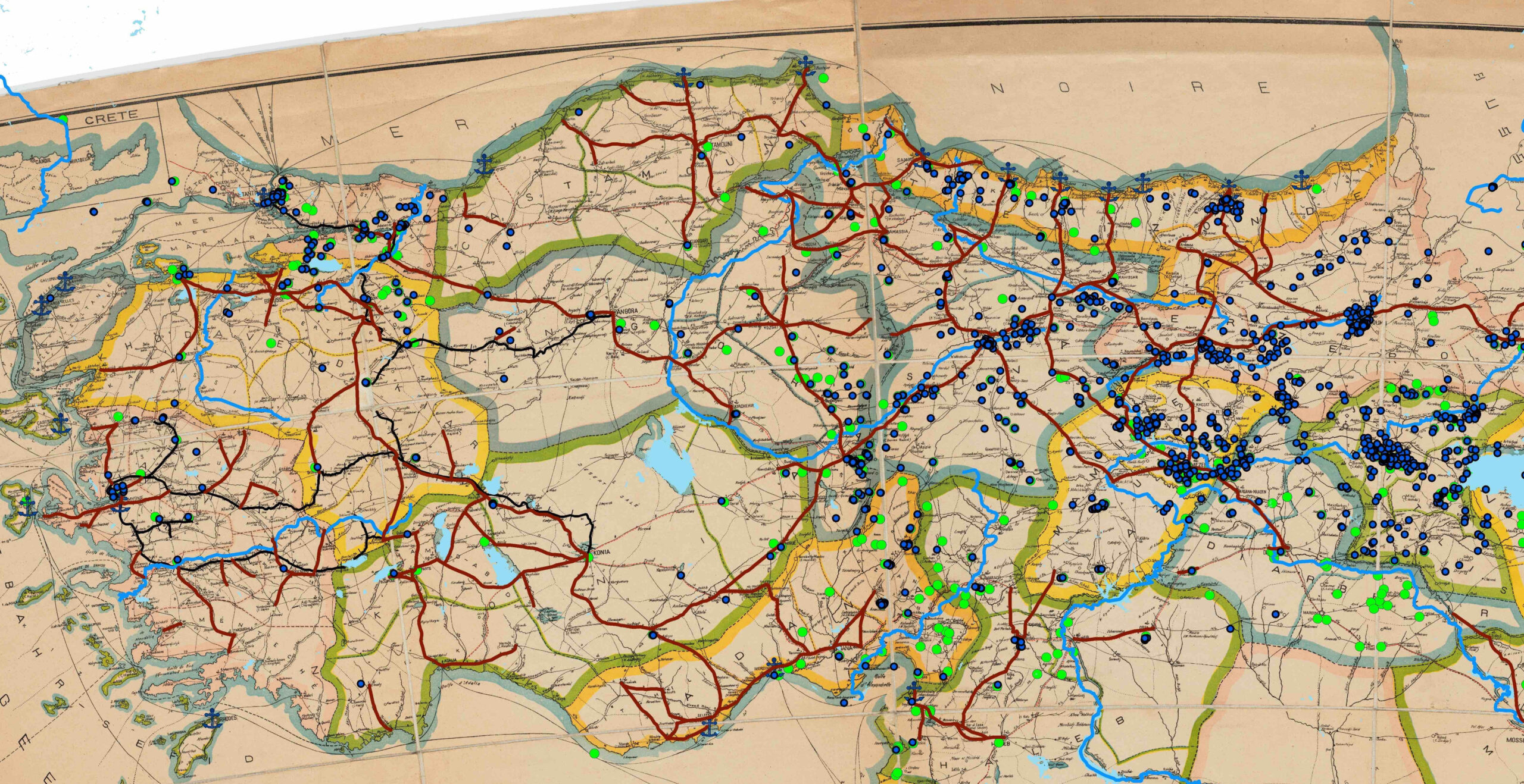
Social Scientific Applications of Historical GIS, Part 2: Linking and Visualizing Population Data in ArcGIS
DH in GeneralDigital CartographyIslamic StudiesOttoman StudiesSoftwareVisualization

Social Scientific Applications of Historical GIS, Part 2: Linking and Visualizing Population Data in ArcGIS

This post has been contributed by Emre Amasyali. Information about the author is included at the end of the post.…

The Digital OrientalistNovember 20, 2020
Social Scientific Applications of Historical GIS, Part 1: Digitizing Historical Maps and Creating District Polygons in ArcGIS
Digital CartographyIslamic StudiesOttoman StudiesVisualization

Social Scientific Applications of Historical GIS, Part 1: Digitizing Historical Maps and Creating District Polygons in ArcGIS

This post has been contributed by Emre Amasyali. Information about the author is included at the end of the post.…

The Digital OrientalistNovember 6, 2020
Simple Map-Making with ArcGIS Online: A Brief Tutorial
DH in GeneralDigital CartographyOttoman Studies

Simple Map-Making with ArcGIS Online: A Brief Tutorial

As discussed in several of our previous posts by Fatma, Deniz, and Giulia, Geographic Information Systems (GIS) is a useful…

October 20, 2020
Georeferencing Historical Maps: Applying Map Warper to Ottoman Urban History
Digital CartographyOnline ResourcesOttoman StudiesVisualization

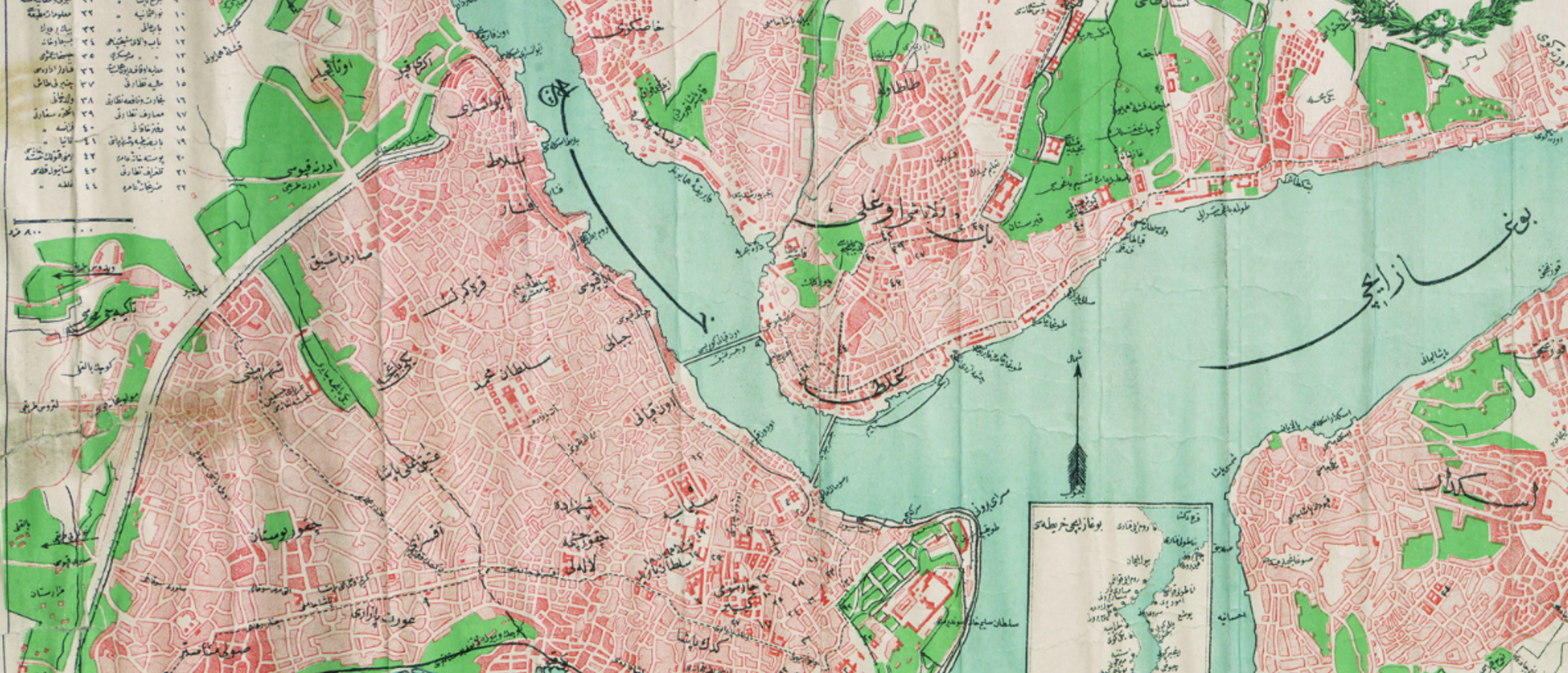
Georeferencing Historical Maps: Applying Map Warper to Ottoman Urban History

Digital research methods and software that allow spatial analysis enable different research questions to be produced by moving cities, places,…
Fatma AladagSeptember 29, 2020

Posts pagination

Previous 1 2 3

Copyright © 2026 My Website | Neo Magazine by Ascendoor | Powered by WordPress.