Skip to content

My Website

Category: Digital Cartography

StoryMaps: A Brief Tutorial
DH in PracticeDigital CartographyOttoman Studies

StoryMaps: A Brief Tutorial

In a previous post, I explained how to build a simple map from scratch with ArcGIS Online. This tutorial introduces another…

January 12, 2021
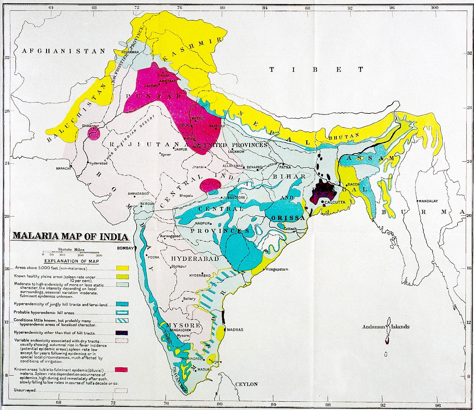
Manuscripts, Mapping, and Provenance
Digital CartographyIndian StudiesVisualization

Manuscripts, Mapping, and Provenance

The Digital Orientalist has given us many examples of the uses of digital cartography or, more simply, mapping. Ranging from…

Adrian PlauJanuary 1, 2021
Social Scientific Applications of Historical GIS, Part 2: Linking and Visualizing Population Data in ArcGIS
DH in GeneralDigital CartographyIslamic StudiesOttoman StudiesSoftwareVisualization

Social Scientific Applications of Historical GIS, Part 2: Linking and Visualizing Population Data in ArcGIS

This post has been contributed by Emre Amasyali. Information about the author is included at the end of the post.…

The Digital OrientalistNovember 20, 2020
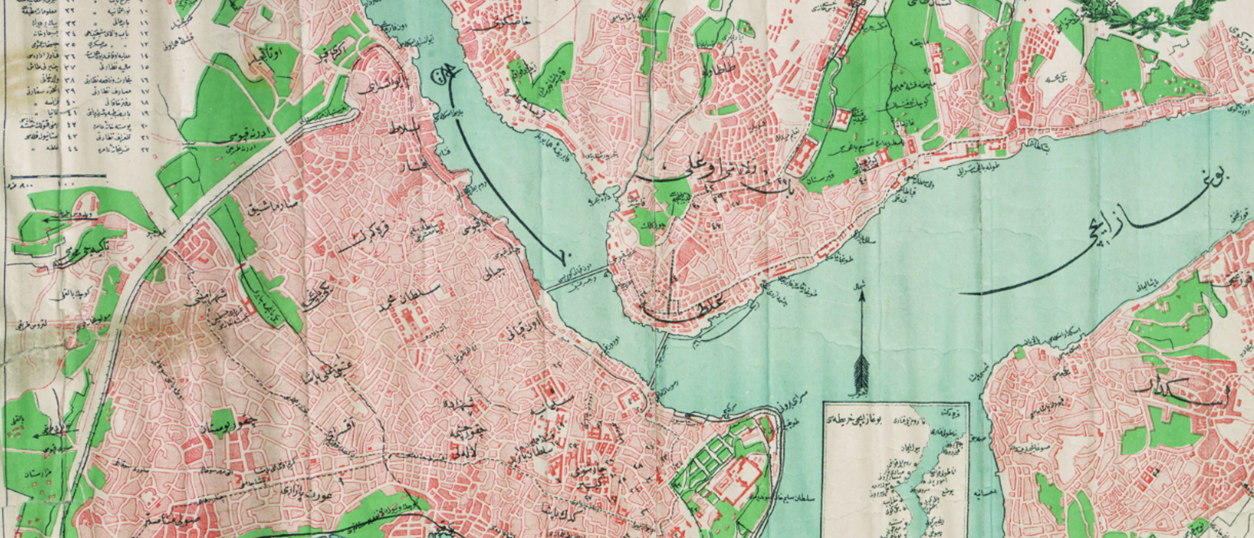
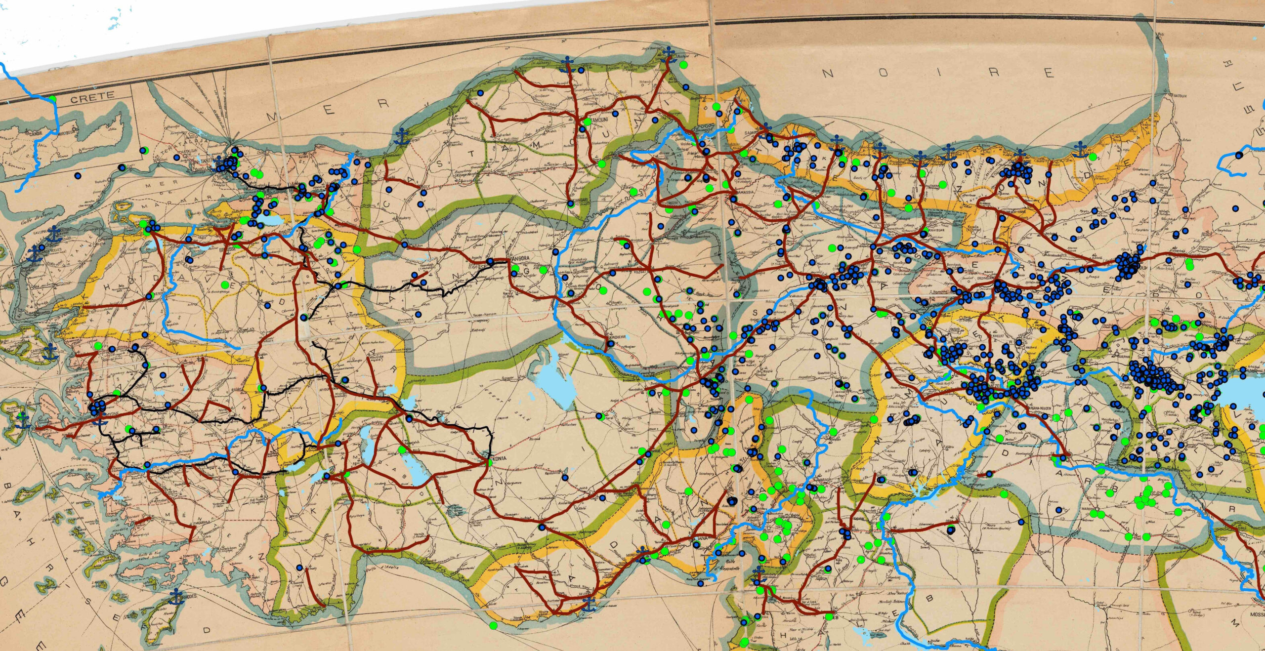
Social Scientific Applications of Historical GIS, Part 1: Digitizing Historical Maps and Creating District Polygons in ArcGIS
Digital CartographyIslamic StudiesOttoman StudiesVisualization

Social Scientific Applications of Historical GIS, Part 1: Digitizing Historical Maps and Creating District Polygons in ArcGIS

This post has been contributed by Emre Amasyali. Information about the author is included at the end of the post.…

The Digital OrientalistNovember 6, 2020
Simple Map-Making with ArcGIS Online: A Brief Tutorial
DH in GeneralDigital CartographyOttoman Studies

Simple Map-Making with ArcGIS Online: A Brief Tutorial

As discussed in several of our previous posts by Fatma, Deniz, and Giulia, Geographic Information Systems (GIS) is a useful…

October 20, 2020
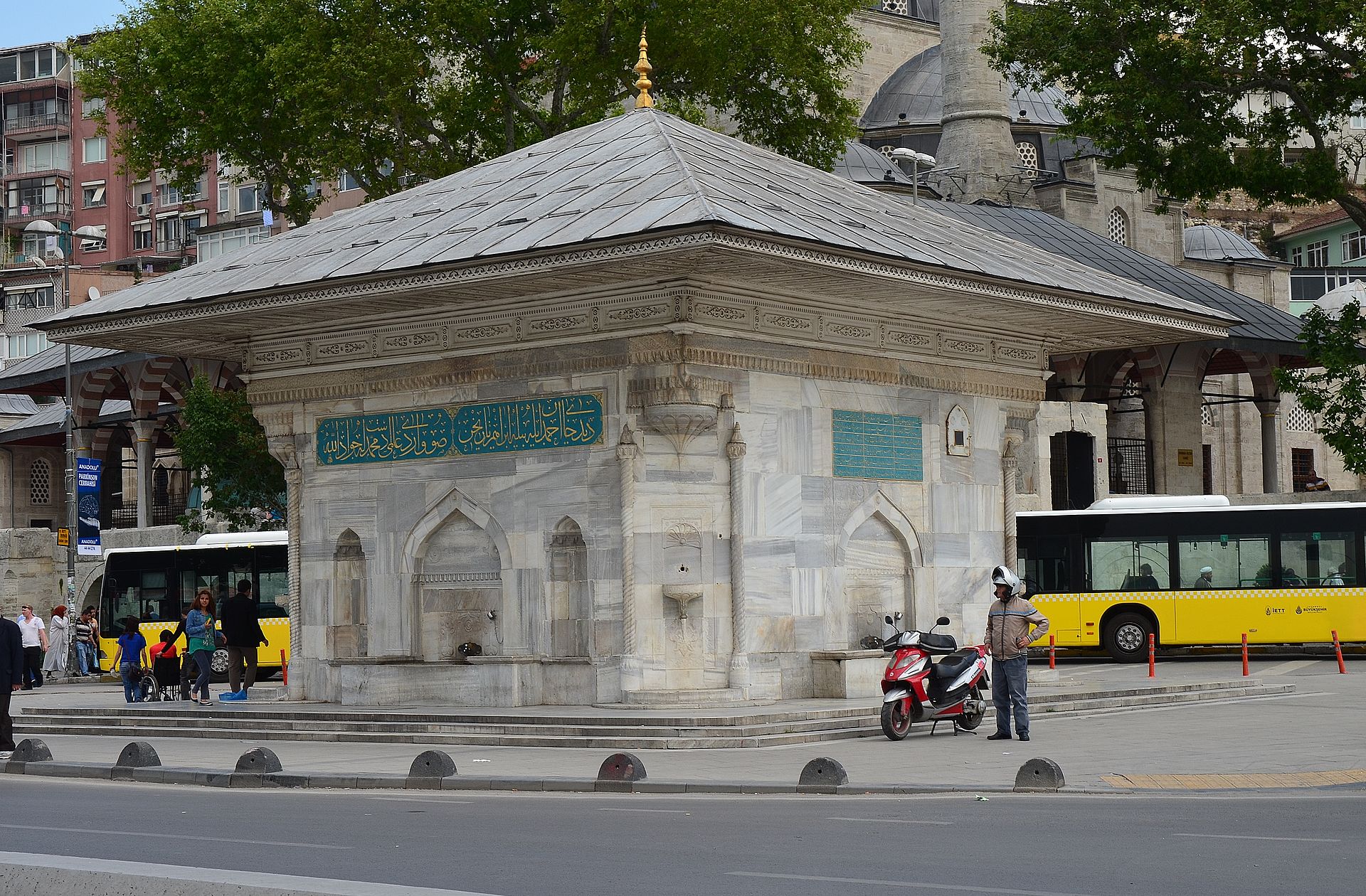
Georeferencing Historical Maps: Applying Map Warper to Ottoman Urban History
Digital CartographyOnline ResourcesOttoman StudiesVisualization

Georeferencing Historical Maps: Applying Map Warper to Ottoman Urban History

Digital research methods and software that allow spatial analysis enable different research questions to be produced by moving cities, places,…

Fatma AladagSeptember 29, 2020
Mapping Ancient Indian Urban Spaces
Digital CartographyIndian StudiesOnline ResourcesSoftwareVisualization

Mapping Ancient Indian Urban Spaces

This article deals with GIS in Classical Indian Studies, focusing on the case-study of “Mapping Vijayanagara.”

December 4, 2019
GSM: A Lesson for Beginners, by a Beginner
DH in GeneralDigital CartographyIslamic StudiesVisualization

GSM: A Lesson for Beginners, by a Beginner

Composing a text for a website such as this requires a balancing act between the website’s likely readership. Some readers…

apjmallettOctober 22, 2019
Apps for Viewing Historical Japanese Maps
Digital CartographyJapanese StudiesOnline ResourcesSoftwareVisualization

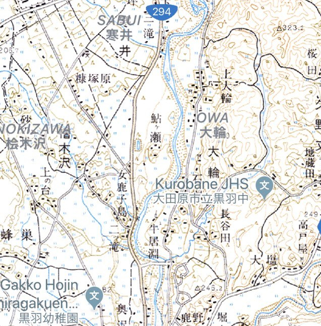
Apps for Viewing Historical Japanese Maps

Several years ago, I received an iPad and realizing that I wanted to use it for academic purposes began to…

James Harry MorrisOctober 15, 2019
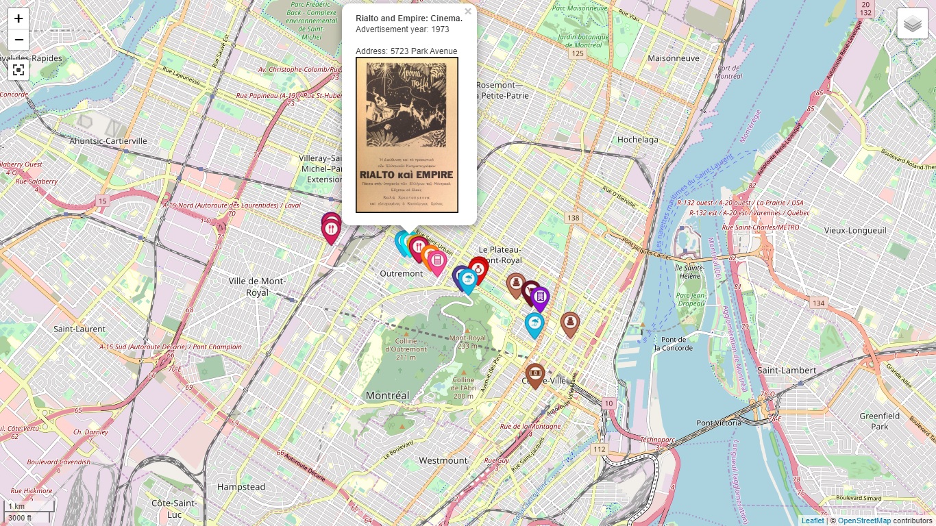
Making online interactive maps with Leaflet (Part 2)
DH in GeneralDigital CartographyOnline ResourcesVisualization

Making online interactive maps with Leaflet (Part 2)

In the first part of my post about making maps with Leaflet, I had explained the basics of creating an…
September 24, 2019

Posts pagination

Previous 1 2 3 4 Next

Copyright © 2026 My Website | Neo Magazine by Ascendoor | Powered by WordPress.